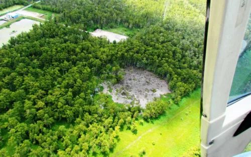
Monitoring microearthquakes of energy-storing salt domes in the Southeast US
Seismic imaging can map out hidden weaknesses around salt caverns used to store oil and gas.
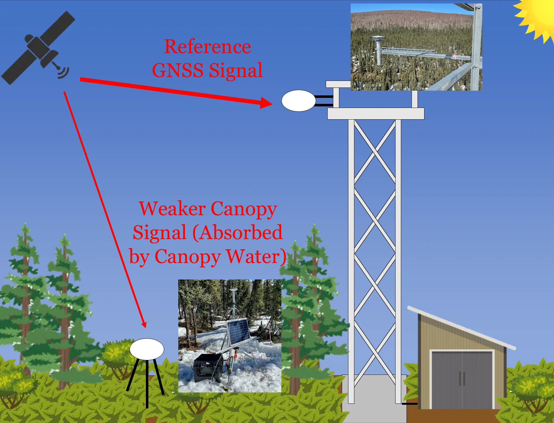
Here in the News & Features section, you can find important announcements or learn more about our work and the science we support.

Seismic imaging can map out hidden weaknesses around salt caverns used to store oil and gas.
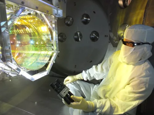
Geophysical instruments make key contributions to some large astrophysics experiments.
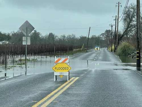
In early 2023, an incredible amount of precipitation fell on drought-stricken California. The surface effects were quite visible but it’s not quite so easy to track how this affected groundwater.
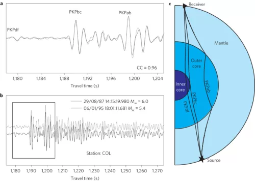
A set of studies explores questions pertaining to the rotation of the inner core relative to Earth’s mantle.
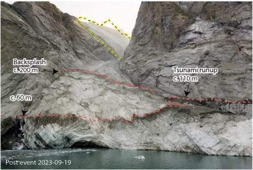
In East Greenland, a mysterious tsunami hit a military base on a remote island tucked into the fjords. At the same time, seismologists noticed a weird signal on seismic stations located around the world.
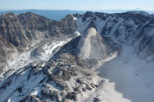
When seismic sensors aren’t detecting earthquakes, they’re picking up other vibrations—even shakes too subtle for people to feel. This ambient seismic noise might be able to tell scientists what’s happening at Mount St. Helens during times of activity and purported respite.
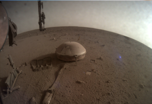
A new paper using InSight data presents a noteworthy conclusion—seismic velocity data is best explained by the presence of liquid water.
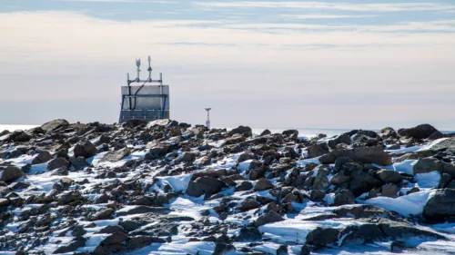
A new study uses the latest maps of the structure beneath Antarctica to see how important realistic crust and mantle information is to sea level rise. The answer? It’s pretty important.
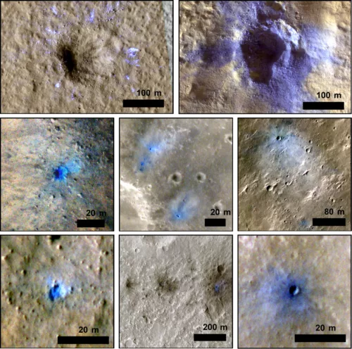
InSight has advanced our understanding of the Martian interior by using seismic techniques typically applied on Earth. One instrument, the Seismic Experiment for Interior Structure (SEIS) returned data that shows marsquakes from recent impacts of space debris on the surface. Compared to the orbitally-imaged catalog of craters, the seismically-detected events don’t seem to entirely match.