
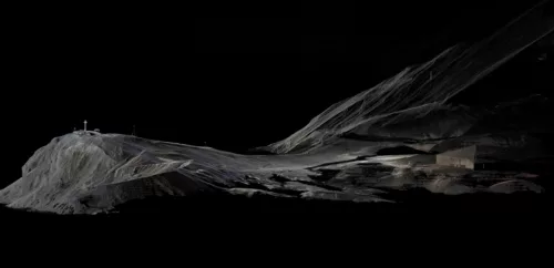
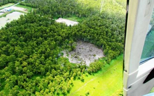
Monitoring microearthquakes of energy-storing salt domes in the Southeast US
Seismic imaging can map out hidden weaknesses around salt caverns used to store oil and gas.
Here in the News & Features section, you can find important announcements or learn more about our work and the science we support.
Seismic imaging can map out hidden weaknesses around salt caverns used to store oil and gas.
Geophysical instruments make key contributions to some large astrophysics experiments.
This field season, EarthScope staff spent time on Mt. Erebus for some major upgrades to the seismic network, including a new station. Final tally on batteries hauled around by helicopter? About 14,000 pounds.
Consider signing up!
In early 2023, an incredible amount of precipitation fell on drought-stricken California. The surface effects were quite visible but it’s not quite so easy to track how this affected groundwater.
One recent Antarctic project supports the New Zealand Antarctic Heritage Trust’s work at Discovery Hut, a remnant of Robert Falcon Scott’s famous expedition.
California is looking to build offshore wind electricity generation―distributed acoustic sensing on existing cables could help site these projects.
Distinguishing between intermittent unrest and an eruption’s prologue poses a major challenge to volcanologists responsible for forecasting earthquake activity. A recent eruption of Mauna Loa, Hawai’i provided scientists a unique opportunity to tackle this problem.
A new study uses a dense array of magnetotelluric measurements to generate a high-resolution image of Yellowstone’s magmatic guts.